Spotting Koalas from the Sky: How Drone Technology Is Helping to Protect Our Wildlife
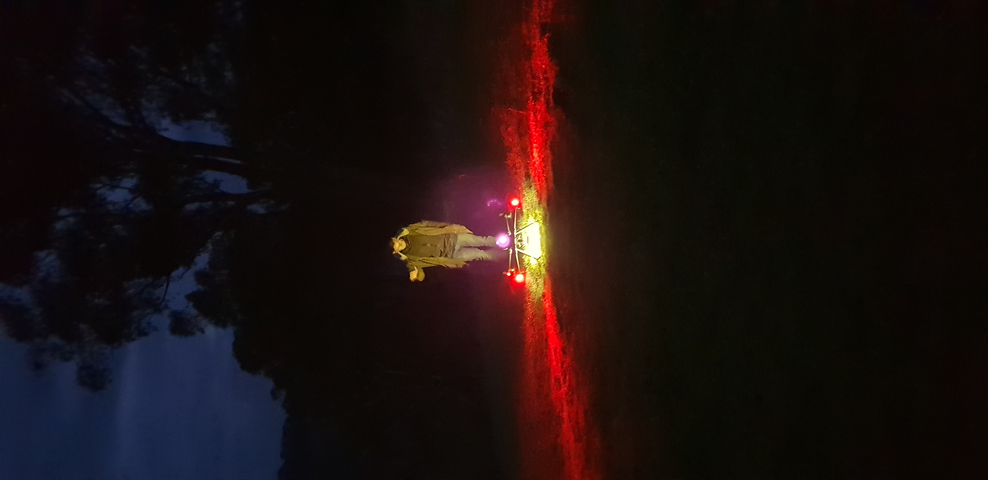
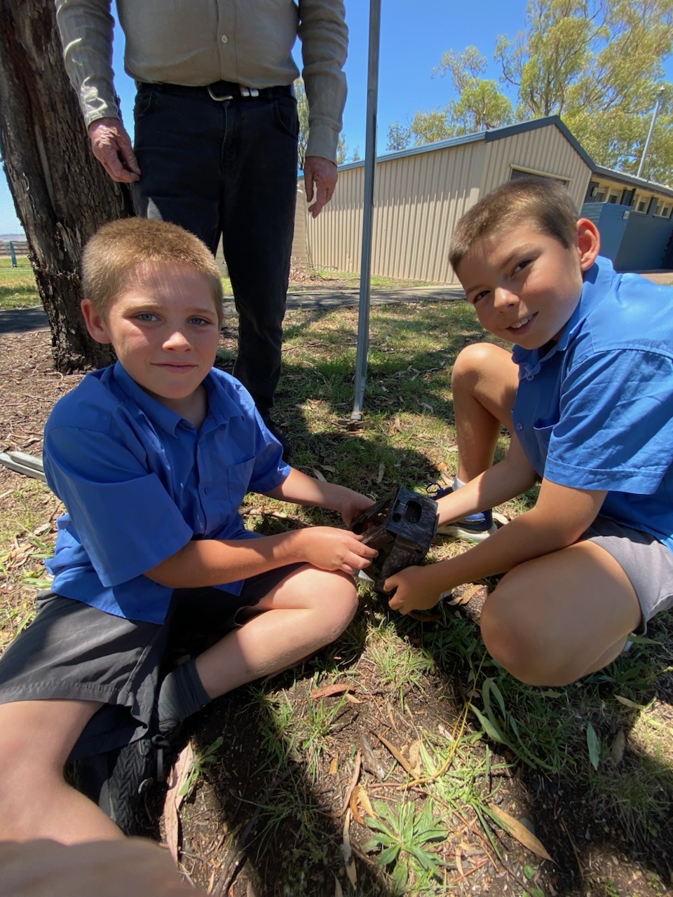
In response to the devastating impact of the 2019/2020 Black Summer Bushfires on koala populations and other threatened species, Landcare Australia, WIRES (NSW Wildlife Information, Rescue and Education Service), and Queensland University of Technology (QUT) partnered to create the WildSeek Project. Funded by generous public donations, WildSeek is an innovative conservation initiative that uses drone technology equipped with infrared cameras to detect koalas high in the forest canopy. The data collected helps communities and land managers make informed decisions to protect vital native habitat and improve planning for future fire events.
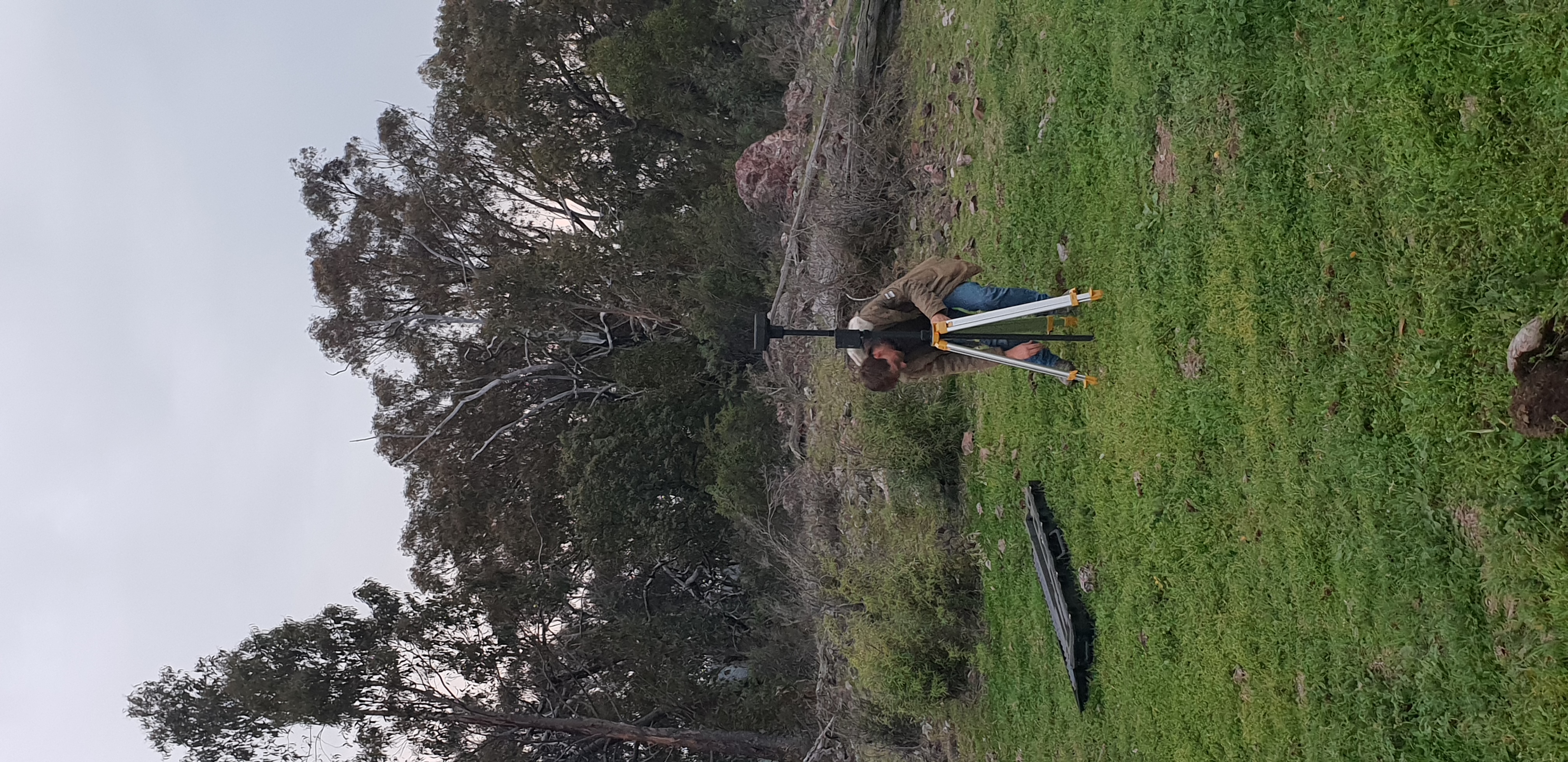
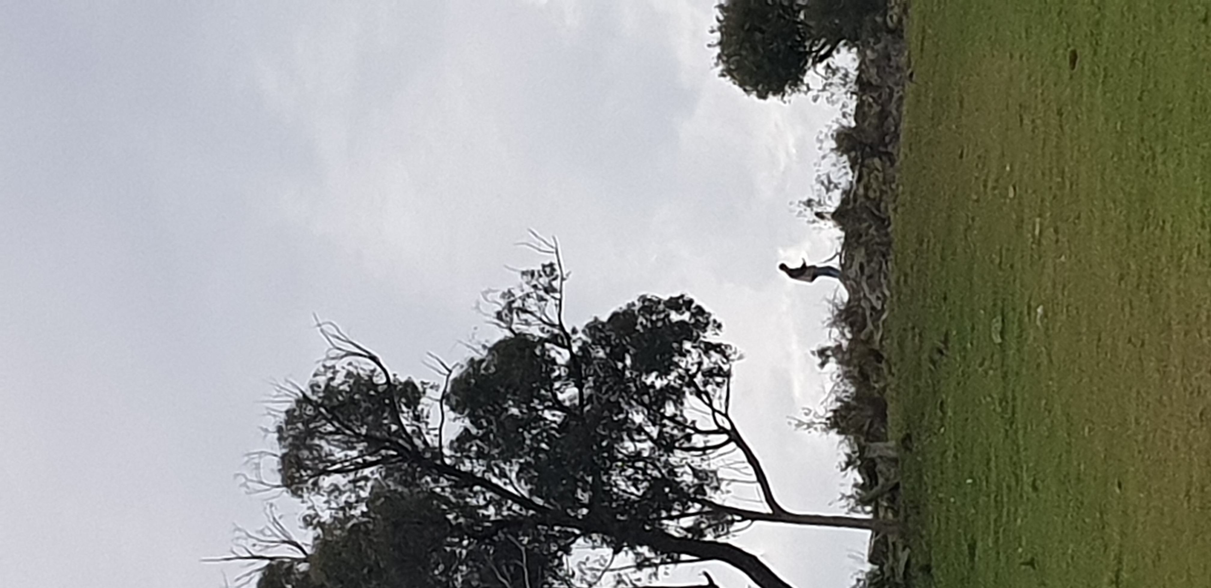
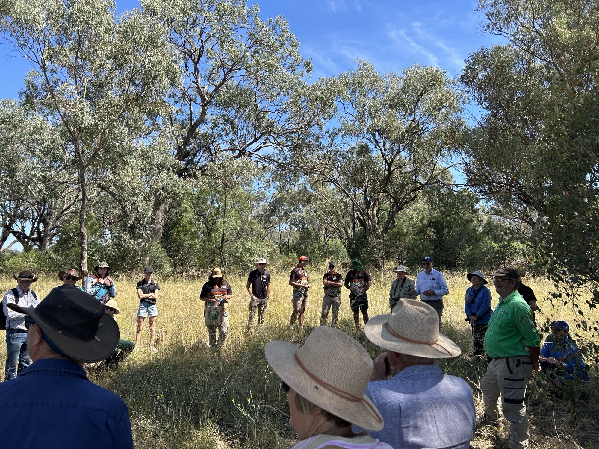
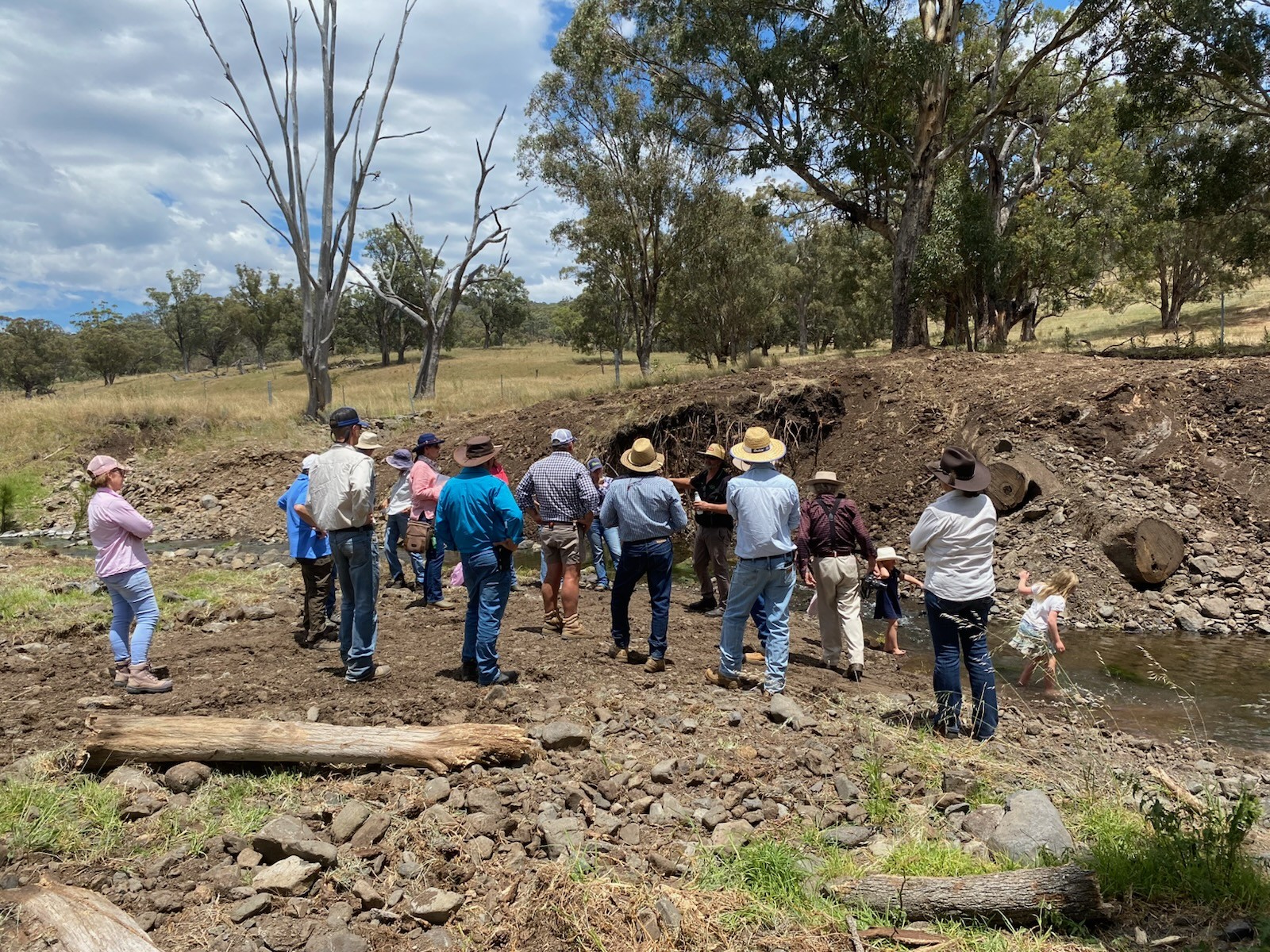
Tamworth Regional Landcare Association (TRLA) is proud to be one of five Community Hubs across Australia delivering this cutting-edge project, alongside partners in Mid Coast NSW, South East Queensland, East Gippsland, and the Sydney Region. TRLA owns and operates a drone as part of the WildSeek initiative and contracts experienced local agronomist and farmer James Filby as our chief drone pilot. So far, the drone has flown over bushland in Tamworth, Duncans Creek, Bendemeer, and Walla Walla Creek, identifying approximately 39 koalas with support from infrared technology and analysis by QUT.
TRLA invites you to Landcare Learnings with James Filby on Monday, July 22nd, from 6–8 PM at the UNE Building, Fitzroy Street, Tamworth. James will take us behind the scenes of the WildSeek Project, sharing insights into where the team has flown, what they’ve discovered, and how drone-collected data supports local koala conservation. He’ll also explore broader themes including canopy health, habitat protection, and how regenerative agriculture can support both productive grazing and biodiversity.
Don’t miss this opportunity to learn how innovative technology and community partnerships are shaping the future of wildlife conservation in
our region.
.png)
.jpg)
.png)